Table of Contents
Whether you’re a homeowner, a real estate investor, or a construction professional, understanding how to read a property land survey map is essential.
These maps show your property’s boundaries and features, ease “Access the Secrets of Your Property: How to Read a Land Property Boundary Map Like a Pro” Survey maps are created by licensed surveyors and are legally recognized documents that define the land’s legal limits.
This detailed guide will break down the key elements of a Property Boundary Map, common mistakes to avoid, and a step-by-step process for interpreting your property’s details. By the end of this guide, you will have a solid understanding of how to confidently read and use a Property Boundary Map.
What Is a Property Land Survey Map?
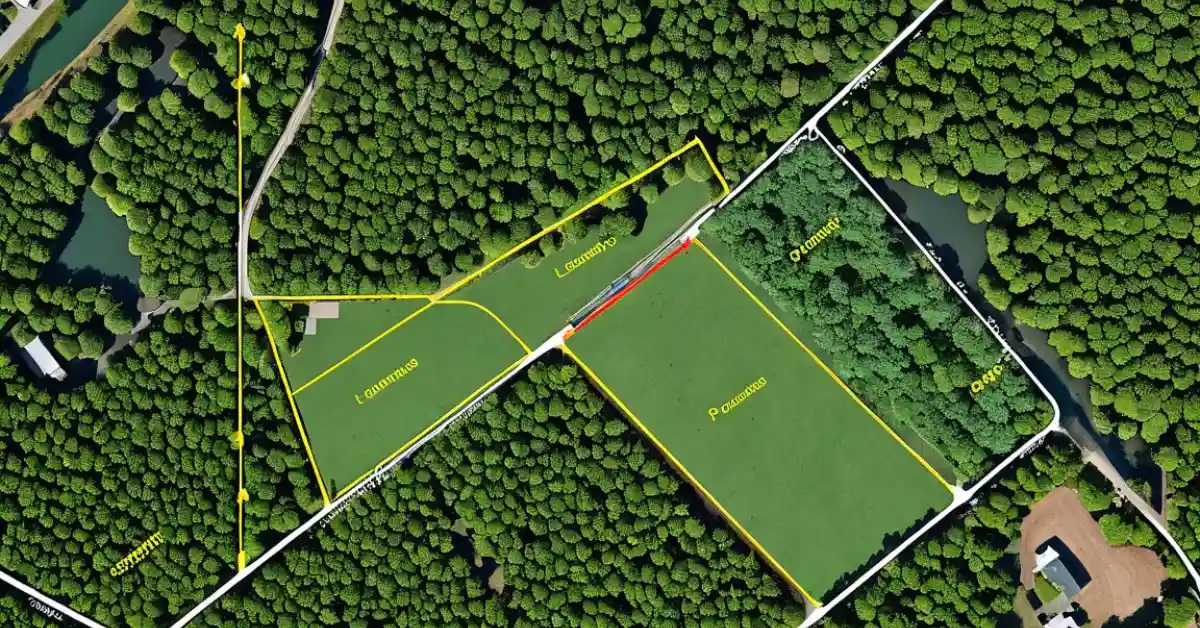
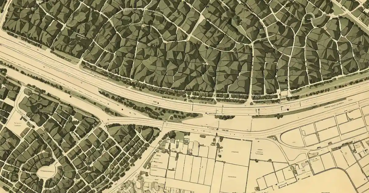
A property survey map is a visual representation of a plot of land, created by professional surveyors to document property boundaries, natural features, structures, and easements. It’s an essential document that is often used in real estate transactions, construction planning, and legal matters. The Property Boundary Mapwill show:
Property boundaries (with dimensions)
Structures (buildings, fences, and other landmarks)
Land features (trees, rivers, slopes, etc.)
Easements (rights of access, utilities, etc.)
Surveyor’s notes and legal descriptions
These maps help property owners and professionals avoid boundary disputes, confirm the correct placement of structures, and plan for future projects.
Why Understanding Your Land Survey Map is Important
Knowing how to interpret a property Property Boundary Map is more than just an academic exercise. It can impact various aspects of land ownership and management. Here are a few reasons why reading a Property Boundary Map is essential:
1. Avoid Legal Issues
Understanding your property’s boundaries helps prevent legal disputes with neighbors. For example, if you’re planning to build a fence or construct an extension, knowing your exact property lines ensures that you won’t encroach on someone else’s land.
2. Accurate Property Valuation
A property survey map can confirm the exact size of your land, which is critical when determining its value. Real estate professionals rely on accurate land dimensions when pricing a property.
3. Construction Planning
When building or remodeling, it’s crucial to know where your land’s boundaries lie. You also need to be aware of any easements or rights of way that may restrict your use of the property.
4. Understanding Easements and Rights of Way
Easements allow others to access your land for specific purposes, like utilities or shared driveways. Survey maps often indicate these easements, which can impact how you use your property.
Key Components of a Property Land Survey Map
Before diving into the process of reading a property land survey map, it’s important to familiarize yourself with its key components.
1. Property Boundaries

The most obvious feature of a property survey map is the property boundaries. These boundaries, which are normally shown with solid or dashed lines, define your land’s legal bounds. The length of each side of the property will be indicated, often in feet or meters.
In most cases, surveyors use specific symbols to mark the corners of the property, such as dots or crosses. The boundary lines may also show “boundary markers” or “monuments,” which are physical markers placed on the ground that correspond to the lines shown on the map.
2. Compass Rose
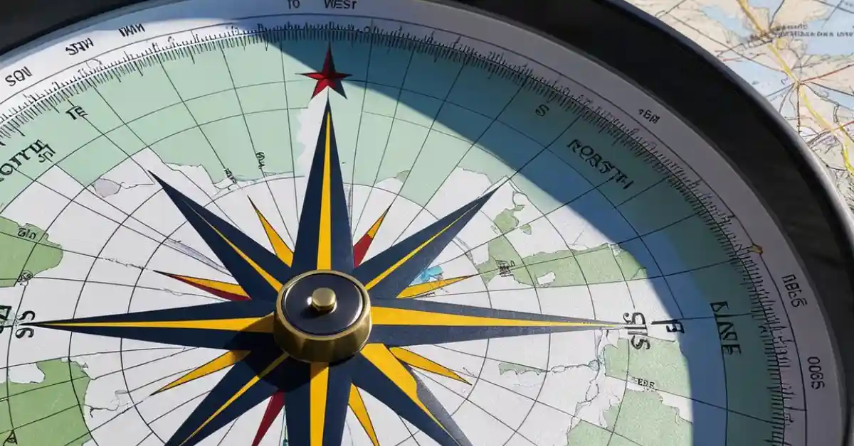
A compass rose indicates the map’s orientation, showing you the cardinal directions: North, South, East, and West. This is especially helpful when you want to match the map’s orientation to the real-world location of the property. For example, the top of the map may be north, or you might need to rotate it to align with the actual landscape.

3. Scale
EveryProperty Boundary Map includes a scale that indicates the relationship between the measurements on the map and the real-world distances. For example, one inch on the map may represent 100 feet in reality. This scale allows you to calculate the actual size of the property and the distance between key points.
4. Easements and Rights of Way
Easements are areas of your property that others can use for specific purposes, such as utility lines, drainage pipes, or access roads. These are often represented by dashed or dotted lines. It’s critical to understand the location of easements as they can restrict how you use that portion of your property.
5. Surveyor’s Notes
Surveyor notes are detailed annotations that provide additional information about the property, such as discrepancies in the measurements, special instructions, or clarifications about boundary lines. These notes help explain any unusual features or issues that might not be immediately obvious from the map itself.
6. Natural Features and Structures
Survey maps often depict natural land features like rivers, streams, trees, or slopes. They may also show buildings, fences, or other man-made structures that exist on the land. These features can help you understand the topography and limitations of your property.
Step-by-Step Guide: How to Read a Property Land Survey Map
Now that you know what’s on the map, let’s go over how to read and interpret the information.
Step 1: Review the Legend
The legend is a key that explains the symbols used on the map. Each symbol corresponds to a different feature of the property, such as trees, buildings, or boundaries. Take the time to study the legend before proceeding to ensure that you understand what each symbol represents.
Step 2: Identify Property Boundaries
Start by identifying the property boundaries. Look for solid or dashed lines that detect the property’s edges. Check the dimensions indicated on the map and compare them to real-world landmarks on the property.
Step 3: Use the Scale to Measure the Distance
For example, if the scale is 1 inch = 100 feet, you can use a ruler to measure distances between key points on the map and then calculate the real-world distances.
Step 4: Align the Map with Directions
This will help you better understand the layout of your land and the location of structures or natural features.
Step 5: Locate Easements and Rights of Way
Look for any easements or rights of way that might affect your property. These are typically indicated by dashed lines and can impact how you use the land. For example, an easement for a utility company might allow them to access your property for maintenance, even if it is part of your yard or driveway.
Step 6: Check for Surveyor’s Notes
Surveyor’s notes can provide important details about any special circumstances surrounding your land. For example, they might note that certain boundaries are approximate, or that there are discrepancies in the original survey. Pay attention to these notes to avoid misinterpretation.
Common Mistakes to Avoid When Reading a Property Land Survey Map
Ignoring the Legend
Understanding the legend is crucial for understanding the map’s symbols Failing to refer to it can lead to confusion or misinterpretation.
Not Verifying Property Boundaries
Always verify the property boundaries with physical markers on the property. Never rely solely on the map without checking actual landmarks.
Misunderstanding the Scale
The scale on a map is essential for understanding the real-world dimensions of the property. Make sure you use it correctly to avoid making incorrect assumptions.

Conclusion
Reading a property land survey map is an essential skill for homeowners, real estate professionals, and anyone involved in land transactions. By understanding how to interpret the key elements of the map—such as boundaries, symbols, easements, and measurements—you can ensure that you make informed decisions about your land.
With the knowledge gained from this guide, you’ll be able to confidently read your property land survey map, avoid common mistakes, and ensure that your property is accurately represented.
Q1: What is a land survey map, and why is it important?
A land survey map is a detailed, legally recognized document created by licensed surveyors to show property boundaries, natural features, and man-made structures. It’s important because it defines legal property limits, helps avoid boundary disputes, and supports accurate property valuation and planning.
Q2: How do I locate property boundaries on a survey map?
Property boundaries are typically represented by solid or dashed lines on the map. Surveyors also mark corners with symbols like dots or crosses. These boundaries often include measurements in feet or meters, which correspond to real-world dimensions.
Q3: What does the legend on a survey map explain?
The legend acts as a key for interpreting symbols and lines used on the map. It describes what each marker, line style, and color represents, such as property boundaries, easements, or natural features like rivers or trees.
Q4: How can I use the scale on the map to calculate distances?
The scale shows the relationship between map measurements and real-world distances (e.g., 1 inch = 100 feet). Use a ruler to measure distances between points on the map and multiply by the scale factor to determine actual distances.
Q5: What is a compass rose, and why is it included?
A compass rose is a directional tool on the map that shows cardinal directions (North, South, East, and West). It helps align the map with the real-world orientation of the property, making it easier to locate features on the ground.
Q6: How do I identify easements on a land survey map?
Easements are typically marked with dashed or dotted lines. These represent areas where others have specific rights to use the land, such as for utility access or shared driveways.
Q7: What are the surveyor’s notes, and should I read them?
Surveyor’s notes provide additional information about the map, such as clarifications, discrepancies, or special circumstances affecting the property. Always review them for a complete understanding of the survey.
Q8: Can I rely solely on the survey map to determine boundaries?
No, it’s essential to verify boundaries with physical markers on the property. The survey map provides a guide, but real-world landmarks and surveyor-set markers are the definitive references.
Q9: What tools can I use to measure or verify boundaries?
For precise measurements, tools like a measuring tape, a theodolite, or modern GPS-based devices such as the SMA20RTK can be used. These tools help ensure accuracy, especially for construction or large properties.
Q10: What should I do if I notice discrepancies on the survey map?
If you spot inconsistencies or errors, consult the surveyor who prepared the map. They can clarify details or update the survey to resolve any issues.
- Measurement Units for Length: A Complete Guide for Everyone - February 14, 2025
- LiDAR and Drones in Surveying: The Ultimate 2025 Guide - February 4, 2025
- “Ultimate RTK GPS 2025 How-to Guide: Step-by-Step Instructions” - January 26, 2025

