Advanced Surveying & GIS Mapping
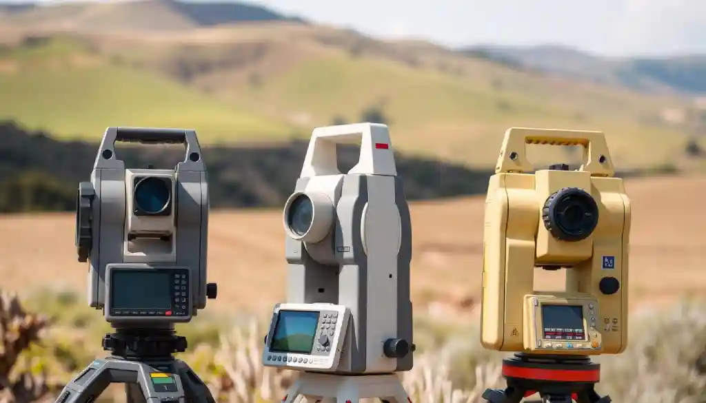
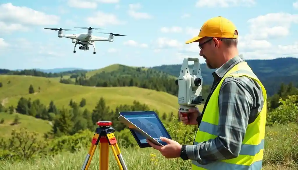
“Advanced Surveying & GIS Mapping are revolutionizing the way we measure and analyze land. At Land Survey Hub, I bring my 10+ years of experience to help you explore cutting-edge technologies like RTK GPS, LiDAR, drone surveying, and GIS applications. Whether you’re a professional surveyor or an enthusiast, you’ll find expert insights, tutorials, and real-world applications to enhance your skills. Let’s navigate the future of land surveying together!”


