“Land Survey Hub Blog – Expert Insights & Guides”
Introduction
Land surveying is not just a profession; it is a responsibility. I am Er. Datta Gore has been working in this field for the past 10 years, continuously learning and adapting to new technologies and challenges. My journey has been filled with obstacles, but each one has been an opportunity to grow.
The Beginning and Challenges
When I first stepped into the world of land surveying, using simple tools like measuring tapes and theodolites felt like a huge task. Understanding and adapting to modern instruments like GPS and total stations was not easy, but I was determined to learn.
Working in rural areas, I realized that land disputes, outdated maps, and the concerns of local farmers were common challenges. Helping people understand legal aspects and providing them with accurate survey services became an essential part of my work.
Technology and Progress
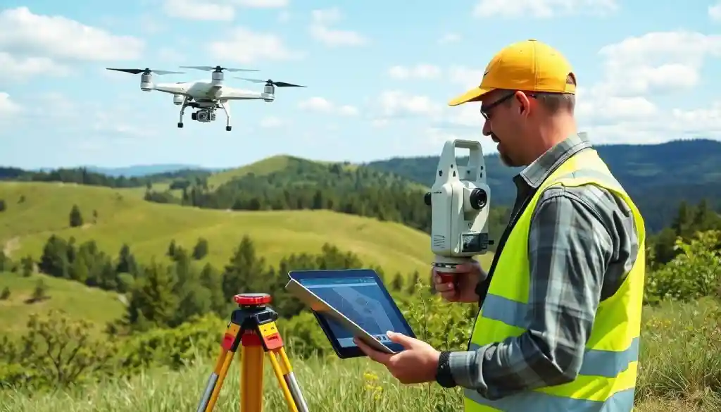
Today, the land surveying industry has undergone a technological revolution. Drone surveying, LiDAR technology, and GIS software have made measurements more precise and efficient. I have made it a priority to stay updated with these advancements and incorporate them into my work.
Client Trust – My True Earning
Once, a client told me, “Our future depends on the accuracy of your survey.” That statement stayed with me. For me, land surveying is not just about measuring land—it is about giving people reliable data that can shape their decisions. Every project I undertake is done with honesty and precision.
A Message for the New Generation
Land surveying is not just about drawing maps; it is a blend of science, research, and service to society. If you love learning new things, adapting to technology, and interacting with people, this field can be a great career choice.
Final Thoughts
Over the past 10 years, I have learned that land surveying is more than just a job—it is a responsibility, a challenge, and a journey of growth. My goal is to keep learning and to guide the next generation in this profession.
For You:
Are you interested in learning more about land surveying? Feel free to visit LandSurveyHub.com I’d be happy to help!
Chain Surveying : Learn Definition, Chain, Tape Arrows and Pegs
What is Chain Surveying?The Importance of Chain Surveying in Land MeasurementHow Does Chain Surveying Work?Step 1: Planning the Survey AreaStep 2: Setting UpStep 3: Taking MeasurementsStep 4: Recording DataStep 5: Drawing the Survey MapTools1. Chain or Tape2. Arrows and Pegs3. Compasses or Prismatic Compass4. Leveling InstrumentAdvantages of Chain SurveyingLimitations of Chain SurveyingApplications of Chain SurveyingFrequently…
Becoming a Land Surveyor in 2025: A 6-Step Path to Success
Introduction- I am a professional Civil Surveyor, and my experience is 10 years, how to become a land surveyor, I am studying the research about it, and I am keeping it in front of you. If you’ve ever dreamed of a job that combines precision, creativity, and a touch of adventure, you’re in the right…
All You Need to Know About Land Surveying Near Me
Introduction: Why Land Surveying is a Must-Have ServiceWhat is Land Surveying?Why is Land Surveying Important? Establishes Boundaries: Ensures Legal Compliance: Aids Property Transactions: Supports Construction Projects: Environmental Planning: Types of Land SurveysBoundary SurveyTopographic SurveyConstruction SurveySubdivision SurveyALTA/NSPS Land Title SurveyMortgage SurveyHow to Find Reliable Land Surveying Near MeStart with RecommendationsSearch OnlineCheck Licensing and CredentialsReview ExperienceCompare QuotesThe…
Affordable and Reliable Boundary Survey: Ensuring Accuracy and Peace of Mind
What is a Property Line Survey? Why is a Boundary Survey Important?1 . Prevent Legal Disputes Over Property Lines2. Protecting Your Investment3. Necessary for Construction Projects4. Property Tax Accuracy5. Clarity and Peace of Mind How to Find an Affordable and Reliable1. Get Multiple Quotes from Surveyors2. Look for Package Deals3. Consider Online or Remote Surveying…
Accurate GIS Surveying: Expert Services for Your Project in 2025
Key TakeawaysWhat is Geographic Information System SurveyingCore Components of GIS Technology The Role of Modern GIS in Land SurveyingKey Stages of the Project Planning and Implementation Process What is Geographic Information System Surveying?What are the core components of GIS technology?What is the role of a GIS surveyor in modern projects?What are the advanced technologies used…
“Ultimate RTK GPS 2025 How-to Guide: Step-by-Step Instructions”
IntroductionUnderstanding Real-Time Kinematic(RTK) GPS Technology in 2025What is Real-Time Kinematic (RTK) GPS?How does Real-Time Kinematic GPS Differ from Regular GPS?Why Real-Time Kinematic GPS Matters in 2025Applications of Real-Time Kinematic GPSSetting Up Your Real-Time Kinematic GPS System: Key Components and Setup ProceduresKey Components of an RTK GPS SystemStep-by-Step Setup GuideCalibrating Your Real-Time Kinematic GPS Device for…
- Measurement Units for Length: A Complete Guide for Everyone - February 14, 2025
- LiDAR and Drones in Surveying: The Ultimate 2025 Guide - February 4, 2025
- “Ultimate RTK GPS 2025 How-to Guide: Step-by-Step Instructions” - January 26, 2025


