Table of Contents
In environmental research, urban planning, and building, topographic surveys are essential. They create accurate maps of the Earth’s surface. Over the years, land surveying has moved from old methods to new tech. This change lets experts get precise data and make detailed maps.

The need for accurate maps keeps growing. It’s vital to know the basics and advanced ways of doing topographic surveys. By using the latest tech, pros can offer top-notch land surveying services. This guide will dive into topographic surveys, covering their history, key tools, and modern tech.
Key Takeaways
Topographic surveys accurately map the Earth’s surface, which is essential for various industries.
Land surveying services have evolved significantly over the years, incorporating modern technologies and techniques.
Accurate mapping is crucial for making informed decisions in construction, urban planning, and environmental studies.
Topographic surveys involve various techniques and equipment, including GPS and GIS technologies.
Understanding the principles and techniques of topographic surveys is essential for providing high-quality land surveying services.
Advanced technologies, such as drones and LiDAR, are revolutionizing the field of topographic surveys.
Understanding Modern Topographic Surveys
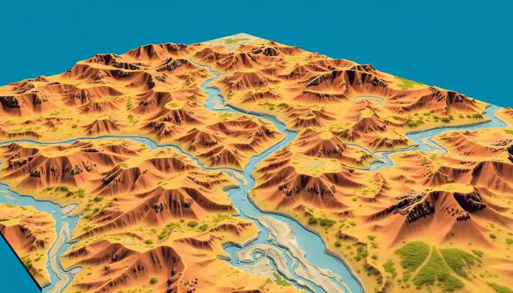
Topographic surveys are key to understanding our planet’s surface. They create detailed maps of the terrain, including elevation and terrain modeling. Surveyors use this data for urban planning, construction, and environmental monitoring.
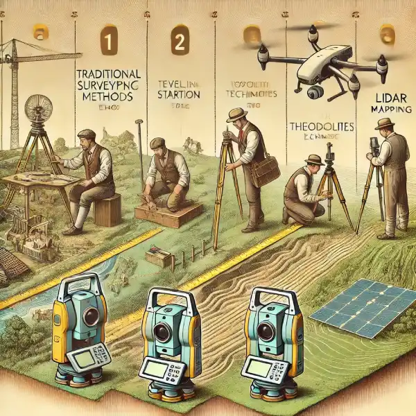
Surveying has changed a lot over time. Old methods like leveling and triangulation are now replaced by GPS and GIS. These new tools help surveyors work faster and more accurately. For example, drones with LiDAR technology can map the terrain with high precision.
Definition and Basic Principles
Topographic surveys measure distances and angles between points. This data makes detailed maps of the terrain, showing contours, slopes, and water bodies. These maps are crucial for making informed decisions in many fields.
Evolution of Survey Methods
New technologies have changed surveying. Accurate 3D representations of the landscape are produced using contemporary techniques, such as terrain modeling. These models help predict scenarios like floods or landslides.

Current Industry Standards
Today, topographic surveys rely on modern tech like GPS and GIS. LiDAR and drones are also utilized for topography and elevation modeling. These tools help surveyors make more precise maps, aiding in better decision-making.
| Survey Method | Description |
| Leveling | Measuring the difference in height between two points |
| Triangulation | Measuring the angles and sides of triangles to determine distances and heights |
| GPS and GIS | Using satellite technology to collect and analyze geographic data |
| LiDAR | Using laser technology to create high-accuracy 3D models of the terrain |
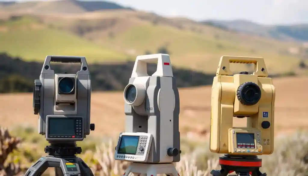
- Total stations: used for measuring distances and angles
- GPS receivers: used for determining precise locations and elevations
- Unmanned aerial vehicles (UAVs): used for capturing aerial data and creating detailed maps
- These tools, along with 3d mapping technology, help surveyors create accurate terrain models. High-quality equipment ensures efficient and reliable data collection. The use of geospatial data collection and 3d mapping technology has changed land surveying. Now, surveyors can make detailed and accurate maps and models.
Choosing the right equipment for land surveying is key. Think about the terrain, how accurately you need it, and your budget. With the best tools and tech, surveyors can do great work. This meets their client’s needs.

| Equipment | Description |
| Total Station | Measures distances and angles |
| GPS Receiver | Determines precise locations and elevations |
| UAV | Captures aerial data and creates detailed maps |
Advanced Technologies Revolutionizing Terrain Modeling
Technology has changed terrain modeling a lot. Aerial surveying is a big part of this change. It uses drones or planes to gather data and images of the land. This method covers big areas quickly and gives high-quality images, which is key for site analysis.
Drones have brought new ways to model terrain. They can gather data quickly and efficiently. They are therefore helpful for a variety of jobs, such as:
- Creating detailed topographic models
- Monitoring environmental changes
- Inspecting infrastructure
Other techs like LiDAR and 3D scanning also play a big role. They give precise data for making detailed terrain models. By mixing these with site analysis, experts get a clearer picture of the terrain. This helps them make better decisions.
As tech keeps getting better, we’ll see even more ways to model terrain. With more aerial surveying and advanced tech, experts will make maps that are even more accurate. This will lead to smarter decisions and better site analysis.
Step-by-Step Guide to Conducting Topographic Surveys
Doing a topographic survey needs careful planning and doing. Boundary surveyors are key to making sure the survey is right and follows the law. First, you should get professional land surveying services to work on it.
The steps include:
- Planning and preparation: This means figuring out what the project needs, getting the right tools and people, and getting any needed permits.
- Data collection: This step uses different methods and tools to get data on the land, like GPS, leveling, and mapping.
- Data analysis: The data is then looked at to make a detailed map of the land, showing contours, elevations, and other details.
By following these steps and working with skilled boundary surveyors and land surveying services, you can get a topographic survey that works for you and gives accurate results.
A topographic survey is a key tool for any construction or development project. It gives important info on the land and helps spot challenges and chances.
| Step | Description |
| 1. Planning and preparation | Determine the scope of the project, identify necessary equipment and personnel, and obtain required permits. |
| 2. Data collection | Use various techniques and tools to collect data on the terrain, including GPS, leveling, and mapping. |
| 3. Data analysis | Analyze the collected data to create a detailed map of the terrain, including contours, elevations, and other features. |
Data Processing and Analysis Techniques
Data processing and analysis are crucial in topographic surveys. Elevation mapping uses special software for precise results. To produce intricate maps, surveyors utilize computer-aided design (CAD) and geographic information systems (GIS).
The data analysis process includes several steps. These are:
- Data validation and cleansing to guarantee precision and coherence
- Data visualization to identify patterns and trends
- Using spatial analysis to comprehend the connections between various characteristics
These steps help create high-quality surveys for many industries. This includes construction and environmental conservation.
Ensuring data quality is crucial. Throughout the procedure, quality control inspections are carried out. Specialized software is used to validate the results. This way, surveyors can provide accurate insights into the terrain.
| Software | Functionality |
| GIS | Geographic information systems for mapping and analysis |
| CAD | Computer-aided design for modeling and visualization |
Using these software solutions and best practices, surveyors can create top-notch surveys. These are vital for construction, environmental conservation, and urban planning. Making educated judgments is aided by precise elevation maps and surveys.

Common Challenges and Troubleshooting Strategies
Topographic surveys can be tricky. Environmental obstacles like tough terrain or bad weather can slow things down. Terrain modeling helps by creating detailed models of the land. This way, surveyors can spot and plan around obstacles.
Technical problems can also pop up. This includes equipment failures or issues with geospatial data collection. Surveyors tackle these by checking their gear often and using extra measurements to check data accuracy.
Environmental Obstacles
challenging terrain, such as steep hills or thick undergrowth
Severe weather conditions, such as intense rain or high temperatures
Limited access to certain areas, such as remote or restricted sites
Technical Issues Resolution
To fix technical problems, surveyors follow a few steps. They first find the problem and then fix the equipment. Using geospatial data collection and terrain modeling software helps keep the results accurate and reliable.
Conclusion: The Future of Topographic Surveying
The field of topographic surveying is changing fast. New 3D mapping and site analysis tools are changing how we look at land. Skilled boundary surveyors are key, making sure data is right and legal.
Soon, artificial intelligence and machine learning will play a big role in surveying. They will make data processing faster and smarter. New techs like high-precision GPS and LiDAR will also improve survey details and speed. This will help many fields, from city planning to building projects.
The need for top-notch surveyors will keep growing. By keeping up with new tech, surveyors can lead the way in mapping the land. They will help shape the future of accurate terrain mapping.
FAQ
How have survey methods evolved over time?
Surveying has changed a lot, from old methods to new tech like GPS and LiDAR. These updates make data collection better and faster. Now, we can make detailed 3D models and maps.
What is the essential equipment needed for professional land surveying?
Surveyors use tools like total stations and GPS for their work. They also use drones and 3D mapping tech. These aid in the creation of precise site analyses and terrain models.
How are drones and LiDAR technology being used in terrain modeling?
Drones and LiDAR have changed terrain modeling. Drones take high-resolution aerial photos quickly. LiDAR makes detailed 3D models. These tools make site analysis and surveys more accurate and fast.
What are the key steps in conducting a topographic survey?
Topographic surveys begin with planning and data collection. First, you hire surveyors and plan the area. Then, you collect data with GPS and drones.
Finally, you analyze it to make accurate maps and models.
How can survey data be effectively processed and analyzed?
GIS and CAD software help process survey data. They create detailed maps and reports. These tools also check data quality.
Good reporting is key for a successful survey.
What are some common challenges in topographic surveys, and how can they be addressed?
Challenges include tough terrain and equipment issues. To solve these, use extra measurements and quality checks. Advanced methods like terrain modeling help too.
- Measurement Units for Length: A Complete Guide for Everyone - February 14, 2025
- LiDAR and Drones in Surveying: The Ultimate 2025 Guide - February 4, 2025
- “Ultimate RTK GPS 2025 How-to Guide: Step-by-Step Instructions” - January 26, 2025


[…] surveys requires a deep understanding of different surveying techniques. Read our article on how to read a land survey map to enhance your […]