Table of Contents
how to find property pins without a metal detector
In the quest for property ownership and effective land management, knowing how to find property pins without a metal detector in 2025 has become more accessible than ever.
Let’s face it, searching for these tiny, often elusive markers can feel like finding a needle in a haystack. Traditionally, a metal detector was the go-to tool for this task, but advancements in technology have changed the game.
Modern methods such as accurate GIS surveying, GPS tools, and property line apps now provide precise ways to locate these boundary markers without the hassle of lugging around a metal detector.
In 2025, these innovative tools and techniques save time, reduce effort, and ensure pinpoint accuracy, making the process much more manageable and efficient.
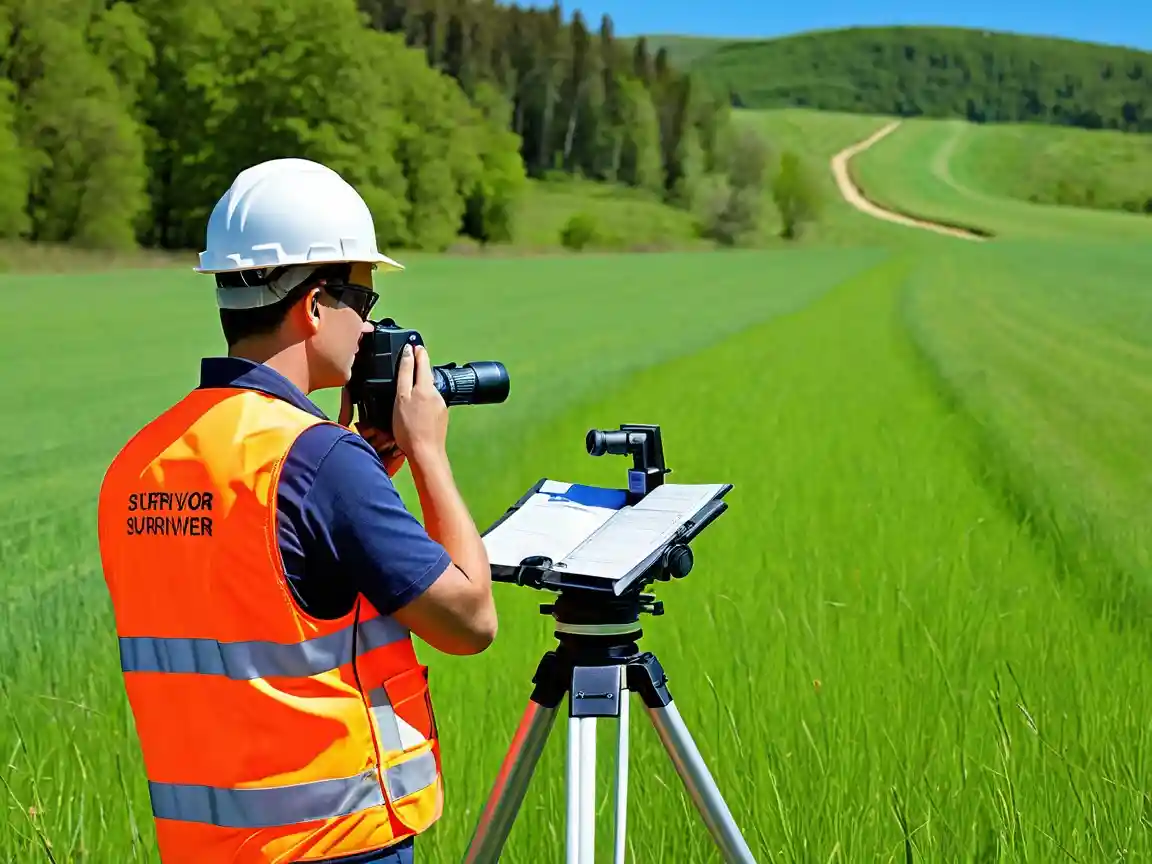
Whether you’re a landowner, a surveyor, or someone looking to establish clear property boundaries, learning how to find property pins without a metal detector is a skill worth mastering.

In this post, we’ll explore five smart approaches that will help you discover how to find property pins without a metal detector in 2025, empowering you to confidently navigate your property lines and understand the full scope of your land.
Whether you’re a homeowner, land surveyor, or outdoor enthusiast, these methods will open up a world of possibilities in your quest for accurate property delineation.
Utilize Advanced GPS Technology for Pinpoint Accuracy
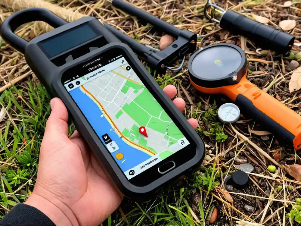
In an age where precision is paramount, leveraging advanced GPS technology has revolutionized the way we locate property boundaries and features with pinpoint accuracy.
As we approach 2025, the tools and techniques available for identifying property pins without traditional methods, such as metal detectors, are increasingly sophisticated.
Enhanced GPS devices now offer remarkable accuracy levels, allowing homeowners, surveyors, and construction professionals to efficiently map out land features and facilitate property disputes without the hassle of digging or extensive searching.
Utilizing these advanced GPS technologies provides numerous advantages. For instance, real-time mapping can help identify not just property boundaries, but also elements like easements, setback lines, and utility access points.
This functionality is invaluable for anyone looking to develop land or settle property disputes quickly and efficiently.
Furthermore, the integration of smartphone applications with advanced GPS technology has made it accessible for everyday users, enabling people to conduct their own land surveys without the need for expensive equipment or professional intervention.
One of the most significant breakthroughs is the use of augmented reality (AR) in GPS applications, which allows users to visualize property lines and features in situ.
Imagine standing on your land and using your smartphone to overlay property boundaries directly onto your view of the scene before you.
This technology not only enhances understanding of the land but also empowers property owners and prospective buyers to make informed decisions regarding their investments.
As we look to 2025, learning “How to Find Property Pins Without a Metal Detector” has transformed from a challenging task into a straightforward process, as long as users harness the right tools at their disposal.
Overall, the future of property surveying and boundary identification is bright, thanks to advanced GPS technology.
The increasing capabilities of these tools ensure that anyone—whether a casual property owner or a professional in the field—can navigate their land with confidence.
As technology continues to evolve, the ability to accurately pinpoint property pins offers a promising glimpse into the future of land management and property ownership, making it simpler and more efficient than ever before.
Try Ground Penetrating Radar for Hidden Pin Detection
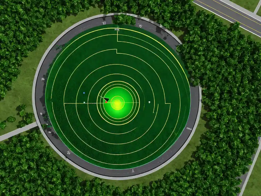
Ground Penetrating Radar (GPR) has emerged as a revolutionary technology for those looking to uncover hidden property pins without the need for traditional metal detectors.
As we step into 2025, this advanced method offers an efficient alternative for identifying landmarks and boundaries buried beneath layers of soil and vegetation.

Unlike metal detectors, which primarily target metallic objects, GPR utilizes electromagnetic waves to create detailed subsurface images, helping users pinpoint unseen structures like property pins with remarkable accuracy.
Utilizing GPR for hidden pin detection involves a non-invasive approach that minimizes disruption to the surrounding environment.
By sending electromagnetic signals into the ground, GPR devices can map out various subsurface features based on the waves’ reflections.
This eliminates the guesswork typically associated with locating property pins, especially in densely vegetated or previously disturbed areas where traditional methods may fall short.
For homeowners, land surveyors, and construction professionals alike, learning how to effectively use GPR can save both time and money, making it an invaluable tool in property delineation.
In addition to its accuracy, GPR technology has grown increasingly accessible, with portable models now available for rent or purchase.
This democratization of technology has allowed more individuals to seek out their own property pins without relying solely on surveying professionals.
As more people turn to GPR, the demand for comprehensive training and resources on effective usage is expected to rise, providing a wealth of knowledge for those curious about how to find property pins without a metal detector in 2025.
As the landscape of property surveying continues to evolve, GPR stands out as a cutting-edge solution that integrates seamlessly into our modern toolkit.
With its non-invasive nature, efficiency, and growing accessibility, Ground Penetrating Radar revolutionizes the way we locate hidden property pins.
For those excited about exploring this high-tech approach, the future looks promising, offering new avenues for uncovering the boundaries that define our spaces.
Use Drones for Aerial Surveying and Pin Identification
As technology continues to evolve, the use of drones in various fields has proven to be transformative, particularly in aerial surveying and property pin identification.
By incorporating drones into these processes, professionals can gain a distinct advantage in efficiency and accuracy.
Drones equipped with high-resolution cameras and advanced mapping software can cover vast areas quickly, providing detailed images that allow surveyors to identify property boundaries with precision.
This tech-driven approach not only minimizes the time spent on ground surveys but also enhances the safety of workers by reducing their exposure to potentially hazardous environments.
For those looking to determine property lines or locate pins without traditional tools, the question often arises: how to find property pins without a metal detector in 2025? Drones can play a crucial role in this.
Using automated flight plans, drones can take detailed aerial images that allow surveyors to analyze terrain features, changes in vegetation, and historical landmarks linked to property boundaries.
By processing these images through sophisticated software, surveyors can pinpoint locations of boundary markers or even uncover pins hidden beneath foliage or surface materials.

Moreover, the integration of GPS technology with drone capabilities ensures unparalleled accuracy in identifying property lines.
Using Geographic Information System (GIS) tools, drone operators can collect geospatial data that reveals not only where property pins are located but also the full context of the surrounding area.
This holistic view assists in understanding the broader landscape, which can be invaluable for clients involved in real estate transactions, land development, or dispute resolution.
The ability to visualize property lines from above can make the identification process straightforward and transparent, mitigating any confusion commonly associated with traditional land surveys.
In summary, embracing drone technology for aerial surveying and property pin identification is establishing a new standard in the industry.
The combination of aerial imagery, advanced data analysis, and precise GPS pinpointing elevates the methods of locating property boundaries while providing a safe and efficient alternative to conventional practices.
As we move forward into 2025 and beyond, it’s clear that innovations like these will continue to revolutionize how we approach land surveying and property identification, making processes easier for everyone involved.
Learn to Interpret Old Property Surveys for Pin Locations
Interpreting old property surveys can be a rewarding yet challenging task, especially when trying to locate property pins.
As property surveys undergo changes over time, understanding the nuances of these documents is essential for accurately determining boundaries.
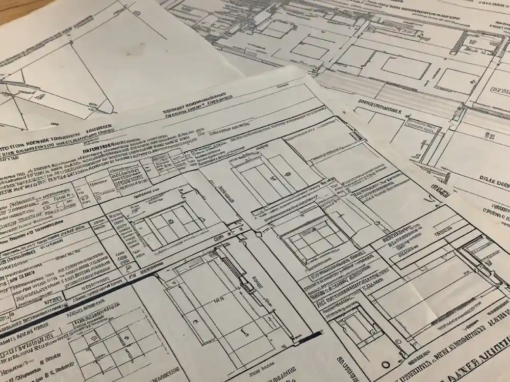
One of the first steps in this process involves acquiring a copy of the original survey from your local land records office. Look for key details such as surveys conducted by licensed surveyors, dates of the surveys, and any noted pin locations.
Understanding the terminologies used in these documents, such as metes and bounds, can provide context for where to look for the actual physical markers.
After reviewing the survey, the next step is to familiarize yourself with the geography of your property. Using the survey, you can match written descriptions with visual landmarks.
Be sure to take note of prominent features such as trees, fences, or corners of buildings that may have been referenced in the original survey.
When trying to pinpoint property lines on the ground, remember that variations can occur due to natural changes over the years.
Sometimes, pins can be hidden beneath thick foliage or buried under layers of soil and debris, making recovery challenging without modern tools.
If you find yourself without a metal detector, don’t worry; there are several practical methods to locate property pins.
Walking the boundaries of your land while using the information from your survey can allow you to physically gauge distances and potential pin placements.
Using a tape measure can also provide precision in calculating distances based on the survey’s specifications. One interesting approach to finding property pins without a metal detector in 2025 involves utilizing aerial imagery and GIS (Geographic Information System) technology.
Many counties now provide access to these resources, which can help visualize your property lines and identify potential hiding spots for pins.
In conclusion, learning to interpret old property surveys is an invaluable skill for any property owner seeking to establish clear boundaries.
By taking the time to study these documents, understanding the land’s topography, and employing various locating techniques, you can successfully uncover your property pins.
Whether you opt for traditional methods or embrace modern technology, the journey to finding those elusive markers can be both educational and satisfying, ensuring your property remains well-defined and protected.
Harness the Power of Satellite Imagery for Pinpointing
As technology continues to evolve, so too do the methods we use for identifying and locating property pins. In 2025, harnessing the power of satellite imagery presents a groundbreaking approach for pinpointing these critical markers without the need for a metal detector.
Traditional methods often require a physical presence on-site, which can be time-consuming and, in some cases, impossible due to inaccessible landscapes.
However, modern satellite technology allows for a level of precision and ease that can revolutionize property surveying.
The advent of high-resolution satellite imagery opens up new avenues for property owners, real estate professionals, and land surveyors alike. By analyzing satellite maps, users can identify boundaries and features that signify the location of property pins.
This method not only saves time but also mitigates the risk of damaging existing structures or vegetation while searching. In 2025, utilizing satellite imagery as a primary tool can empower even novice users to accurately locate property pins, transforming what was once a cumbersome task into a straightforward process.
Moreover, advancements in geospatial technology have enhanced our ability to access and interpret satellite data effectively.
With user-friendly applications and platforms available at our fingertips, anyone can learn how to overlay property lines and other geographical markers onto satellite images, providing a clear insight into the area and facilitating the identification of property pins.
This is particularly beneficial in urban areas where high rises and dense development can obscure traditional surveying methods.
Incorporating satellite imagery not only streamlines the task of finding property pins without a metal detector but also supports broader environmental and planning initiatives.
As property owners become more adept at using these tools, they can contribute to more sustainable land management practices by understanding their property’s context within the larger landscape.
With the continued integration of sophisticated satellite technologies, the future of locating property pins is likely to become more accessible and efficient than ever before.
Employ Augmented Reality Apps for Real-Time Pin Tracking
As technology advances, the integration of augmented reality (AR) into various sectors continues to transform traditional practices.
One area where AR is proving particularly revolutionary is in land surveying and property management, specifically for real-time pin tracking.
For individuals or professionals involved in land development, knowing how to find property pins without a metal detector in 2025 can significantly streamline the identification process and enhance accuracy.
With the use of AR apps, users can visualize property boundaries and locate pins through their smartphone cameras, making the task more intuitive and efficient.
These innovative apps leverage GPS and AR technology to provide users with overlaying visual cues on their real-world surroundings.
By simply pointing their device at the ground, users can see the exact locations of property pins, often highlighted with markers or icons that guide them directly to their destination.
This approach not only eliminates the need for cumbersome metal detectors but also reduces the time and effort required for locating pins, especially on larger plots of land.
The ease of access to such technology democratizes land surveying, empowering more people to engage in property-related activities without needing extensive training or expertise.
Additionally, employing augmented reality for pin tracking opens up a wealth of options for collaboration among professionals in the field.
Surveyors, real estate agents, and property owners can share AR visualizations in real-time, allowing for better communication and more informed decision-making.
As the tech continues to evolve, features like 3D modeling of the property, environmental overlays, and integration with other databases will likely become commonplace, further enhancing the user experience.
The potential for augmented reality apps in real-time pin tracking illustrates a future of property management that is not only more accessible but also significantly more accurate.
In conclusion, as we move into 2025 and beyond, the potential of augmented reality in the realm of property monitoring is exciting and full of possibilities.
For those learning how to find property pins without a metal detector in 2025, embracing AR technology will not only simplify the task but also provide a deeper understanding of property boundaries and land usage.
By integrating this cutting-edge technology into everyday practices, users can enhance their efficiency, accuracy, and overall engagement with their property management endeavors.
Consult with Property Survey Experts for Pinpoint Precision
In the world of real estate and property management, precision is paramount. Understanding the exact boundaries of a property not only helps in avoiding disputes with neighbors but also enhances the planning for future developments.
Whether you’re looking to build, renovate, or simply want to ensure that your investments are secure, consulting with property survey experts is crucial.
These professionals utilize advanced tools and techniques to provide you with accurate surveys that delineate your property lines with utmost precision.

As we move into 2025, many property owners are seeking innovative ways to locate property pins without the need for traditional metal detectors—an approach that can often yield mixed results.
Instead, experts recommend utilizing a combination of modern technology and traditional surveying practices.
Techniques such as GPS-based surveying and ground-penetrating radar can effectively pinpoint property markers and provide insights that metal detectors might miss.
The use of these advanced methods ensures that you obtain reliable information while saving time and resources.
Additionally, surveying experts are well-versed in local regulations and requirements, which can vary significantly between jurisdictions. They understand any zoning laws and property codes that might affect your plans, ensuring that you stay compliant while proceeding with your projects.
As the property landscape continues to evolve, partnering with professionals who stay updated on technological advancements and legal frameworks will offer you a competitive advantage in property management and development.
In summary, if you want accurate results and a stress-free experience when determining property boundaries, consulting with property survey experts is essential.
Especially in a landscape where people are actively seeking out alternatives to traditional methods, knowing how to find property pins without a metal detector in 2025 is a valuable skill that can help you navigate the complexities of property ownership with confidence and precision.
Embrace the benefits of professional surveying to secure your property investments and plan for the future effectively.
Use Historical Maps and Land Records for Pinpointing Pins
Navigating the complexities of land ownership can often be a daunting task, especially when it comes to pinpointing property pins that mark the boundaries of your property.
While many people are familiar with the use of metal detectors to locate these pins, there are alternative methods that can be just as effective, especially in 2025.
A particularly valuable strategy involves leveraging historical maps and land records to help identify and locate property pins without the need for electronic devices.
One of the best resources for anyone looking to trace their property boundaries is historical mapping tools that show the evolution of land division over time.
Many counties have digitized their land records, allowing homeowners to access detailed information about their property and its historical context.
By examining older maps, individuals can get insights into past property lines and neighboring land ownership, which can provide crucial clues when trying to locate the buried pins.
These maps not only depict land divisions but can also feature notable landmarks or changes in geography, offering additional context that could guide your search.
Moreover, consulting local land records can further enhance your strategy. These documents often include detailed descriptions of property surveys and boundaries, providing measurements that are vital for accurately pinpointing property pins.
By cross-referencing this information with historical maps, you can build a comprehensive picture of where your property lines should be situated.
This method offers a more passive approach to locating pins and can be particularly beneficial for individuals who may not have easy access to metal detection equipment or prefer a more hands-on, investigative method.
In conclusion, knowing how to find property pins without a metal detector in 2025 opens up new pathways for homeowners. By utilizing historical maps and land records, it becomes feasible to navigate and determine property boundaries more effectively.
These resources empower individuals to take ownership of their land history, simultaneously preserving its significance while ensuring accurate representations of ownership for future generations.
As technology continues to evolve, these traditional methods remain relevant, proving that sometimes the best solutions lie in understanding the past.
Explore Innovative Mobile Apps for Property Boundary Identification
In 2025, the advent of innovative mobile applications is transforming how property boundaries are identified, making the process more accessible and efficient for homeowners, realtors, and land surveyors alike.
Gone are the days when locating property pins required extensive tools or the help of professionals. Today, smartphone users can tap into a range of advanced features that simplify property boundary identification.
These apps utilize GPS technology, augmented reality, and integrated mapping systems to provide users with precise information about their land boundaries.
One popular type of app employs GPS coordinates to map out property lines with remarkable accuracy. Users can simply walk the perimeter of their land while the app tracks their movements, creating a visual overlay of the boundaries on a digital map.
This capability is particularly beneficial for those seeking to understand their property limits without the complexity of traditional surveying methods.
The convenience of having such technology at one’s fingertips means less time spent on paperwork and more focus on property improvement or landscaping projects.
For those still exploring ways to locate property pins, several apps have emerged with innovative features designed to help users identify their boundaries without needing a metal detector.
Many of these applications leverage public records, satellite imagery, and user-contributed data to help users pinpoint the locations of property markers or pins.
By entering specific information such as an address or parcel number, users can navigate a map that highlights relevant landmarks and indication points, guiding them in their search for physical property markers.
As technology continues to evolve, the future of property boundary identification looks promising.
Mobile apps are breaking barriers and offering unprecedented access to crucial information, making it a game-changer for anyone looking to better understand their land ownership.
In 2025 and beyond, the intersection of mobile technology and property management will undoubtedly lead to even more innovative solutions for identifying and managing property boundaries efficiently.
Whether one is a seasoned real estate professional or a curious homeowner, harnessing these tools makes it easier than ever to discover, visualize, and manage property boundaries.
Master Non-Metallic Pin Finding Techniques for Property Boundary Verification
In 2025, property boundary verification has become more important than ever, particularly in an era marked by rapid development and increased land disputes. One of the most effective techniques for determining property lines involves locating non-metallic pins, which can serve as reliable indicators of boundaries without the need for invasive digging or sophisticated equipment.
Understanding how to find property pins without a metal detector can significantly simplify the process and save time and resources.
To master this skill, individuals should first familiarize themselves with the common materials and markings associated with property lines. Non-metallic pins can include plastic or composite posts, which are designed to withstand the elements while remaining visible.
These markers are often placed in strategic locations according to surveying standards, so recognizing nearby landmarks or existing structures becomes essential.
Tools such as measuring tapes, compasses, and even mobile apps can assist in navigation and confirmation of distances between pins.
Additionally, visual inspection plays a crucial role. Over the years, soil erosion, vegetation changes, and landscaping can obscure property pins, making them harder to find. Regular checks of the property line can help maintain a clearer view of markers and ensure that any changes are documented.
Utilizing techniques like flagging the pins after they are spotted can create a visual map for future reference, making it easier to verify boundaries if disputes arise.
Finally, understanding local zoning laws and regulations surrounding property boundaries can enhance one’s efforts in non-metallic pin finding.
Engaging with local surveying services or public records can yield invaluable information about past surveys and boundary determinations.
By mastering these techniques, property owners can confidently approach boundary verification, ensuring their rights are protected while minimizing the potential for conflict.
- Measurement Units for Length: A Complete Guide for Everyone - February 14, 2025
- LiDAR and Drones in Surveying: The Ultimate 2025 Guide - February 4, 2025
- “Ultimate RTK GPS 2025 How-to Guide: Step-by-Step Instructions” - January 26, 2025

