Table of Contents
What is Chain Surveying?
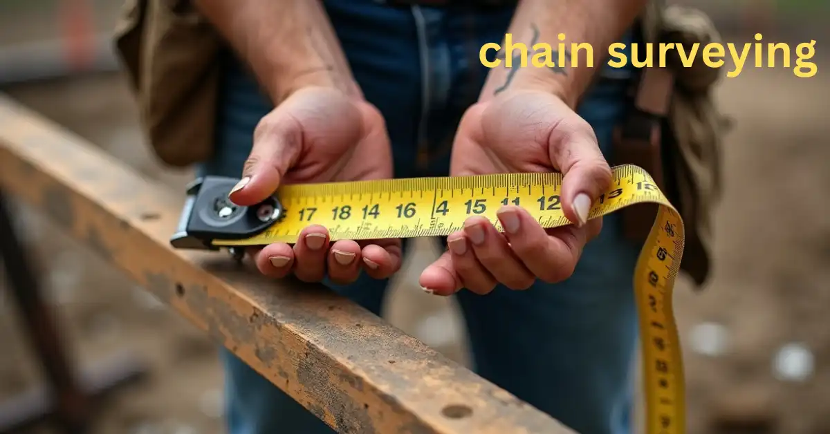
Distances are measured on the ground with a device known as a “chain” or “measuring tape.” It is very helpful for scanning level or flat terrain. making it ideal for small-scale land surveys such as construction projects, boundary surveys, or site assessments.
The Importance of Chain Surveying in Land Measurement
Chain surveying plays a pivotal role in a wide range of industries, from construction and urban planning to agriculture and environmental management. Some key reasons why chain surveying is important include:
Simplicity: Chain measuring is simple to understand and do, which makes it great for people who are just starting out.
Accuracy: For smaller-scale surveys, Linear Surveying offers a high degree of accuracy when performed correctly.
Time-Efficient: It’s a quicker method for measuring shorter distances, helping professionals complete tasks faster.
How Does Chain Surveying Work?
Understanding Chain Surveying: A Complete Guide for Beginners 5 Steps
Step 1: Planning the Survey Area
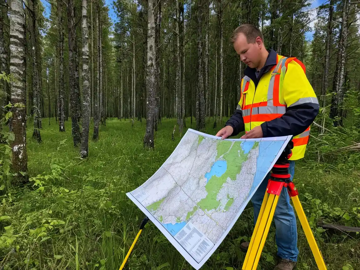
Before starting the chain survey, it’s important to plan the survey area. This involves deciding where to establish your baselines and survey stations. Survey stations are fixed points on the ground, and baselines are reference lines from which measurements will be taken.
Step 2: Setting Up
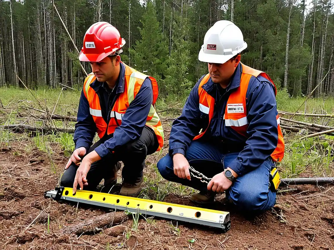
Once the survey area is determined, you’ll need to set up the chain or measuring tape. A standard survey chain is typically 66 feet (20 meters) in length. For larger areas, you may use multiple chains or a longer measuring tape.
Step 3: Taking Measurements

To measure distances between two points, you simply stretch the chain between them and mark the endpoints. For greater accuracy, the chain should be kept taut and aligned with the ground. During measurements, it’s important to account for any obstacles or irregularities in the terrain.
Step 4: Recording Data
All measurement data should be carefully recorded in a survey notebook or field book. This includes distances, bearings, and any additional details that can help in the later stages of analysis and map creation.
Step 5: Drawing the Survey Map

Using the recorded data, surveyors can create a scaled map of the area by plotting the measured distances and angles on graph paper or digital mapping software. This map serves as a visual representation of the survey area.
Tools
1. Chain or Tape

The most essential tool in Linear Surveying is the chain itself, usually made of steel or another durable material. A typical chain is divided into smaller units (links), and each link represents a known measurement (usually 0.2 meters per link).

Alternatively, a measuring tape can be used, especially for smaller or more irregularly shaped plots.
2. Arrows and Pegs

spots along the chain line are marked with arrows, and fixed survey stations or reference spots are marked with pegs.
3. Compasses or Prismatic Compass

To ensure accurate direction and bearing measurements, surveyors use a compass. This tool helps determine the orientation of lines in relation to the north.
4. Leveling Instrument
While not always necessary for basic Linear Surveying, a leveling instrument can be used to ensure that measurements are taken along a perfectly level plane, especially on uneven terrain.
Advantages of Chain Surveying
Simplicity and Accessibility: Linear Surveying doesn’t require advanced training, and the tools are easy to handle.
Affordability: It’s more cost-effective than other types of surveying methods.
Quick Execution: For small areas or preliminary surveys, chain surveying is faster compared to complex surveying methods.
Limitations of Chain Surveying
Limited to Flat Terrain: works best on flat terrain and isn’t suitable for hilly or heavily sloped land.
Less Accuracy in Large Areas: For large-scale surveys, detail is offered by modern methods like theodolite or GPS-based surveys.
Dependency on Skilled Personnel: Although the process is simple, the accuracy of the survey depends on the skill and experience of the surveyor.
Applications of Chain Surveying
Chain surveying is used in various practical applications, such as:
Construction Projects: It helps in the layout of roads, buildings, and other infrastructure projects.
Agricultural Surveys: Farmers use chain surveys to measure fields and plan irrigation or crop rotation.
Urban Planning: City planners use chain surveys to map streets, parks, and other urban features.
Geological Surveys: It helps geologists to map geological features over flat terrain.
Frequently Asked Questions (FAQs)
1. What is the primary tool used in Linear Surveying?
The primary tool used a chain or measuring tape, typically 66 feet (20 meters) in length. This is used to measure distances between survey points.
2. How accurate is Linear Surveying?
Relatively accurate for small to medium-sized surveys on flat terrain. However, for large or more complex surveys, other methods like theodolites or GPS-based may offer greater precision.
3. Can chain surveying be used in mountainous areas?
A compass, or prismatic compass, is used to determine the bearing or direction of the survey lines, helping surveyors accurately plot the survey area and map its features.
Conclusion
Offering simplicity, efficiency, and affordability for a range of surveying tasks. Whether you’re a beginner or an experienced surveyor, can help you perform accurate measurements and create useful maps for various land-related projects. By using the right tools and techniques.
- Measurement Units for Length: A Complete Guide for Everyone - February 14, 2025
- LiDAR and Drones in Surveying: The Ultimate 2025 Guide - February 4, 2025
- “Ultimate RTK GPS 2025 How-to Guide: Step-by-Step Instructions” - January 26, 2025

